 FB
FB IN
IN| REPUBLICA DE EL SALVADOR |
| El Salvador | Picture Description |
|---|---|
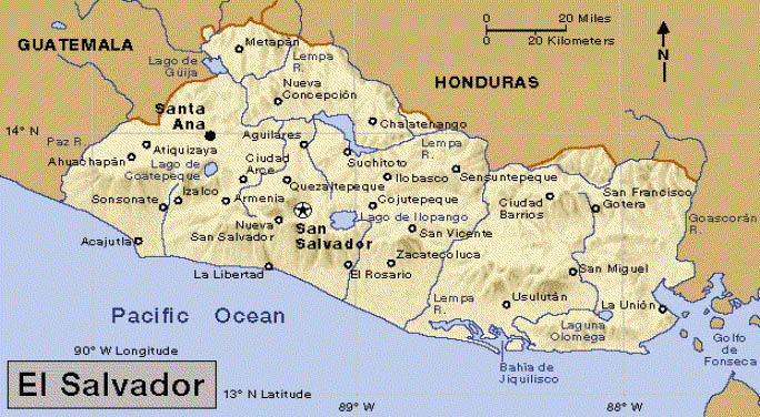 |
Map of El Salvador
Known as the Land of Volcanoes Population : 6,587,541 (July 2004) Median age: 21.4 years Fertility rate:3.2 children/woman(04) Currency: US dollar GDP per capita: PPP $4,800 (2004) Population below poverty line: 48% Labor force - by occupation: Agriculture 30%, Industry 15%, Services 55% Source : CIA Factbook
|
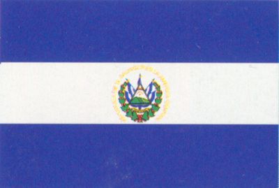 |
The National Flag of El Salvador
El Salvador achieved independence from Spain in 1821 and from the Central American Federation in 1839. A 12-year civil war, which cost about 75,000 lives, was brought to a close in 1992 when the government and leftist rebels signed a treaty that provided for military and political reforms. |
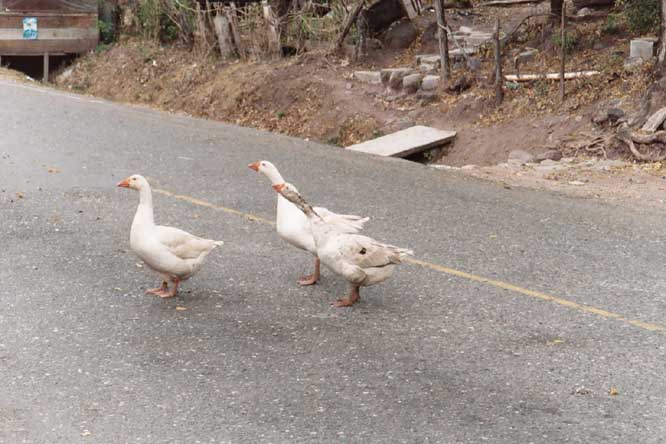 |
Angry Geese
Location : Anguiatu Angry Geese at the border crossing between. El Salvador and Guatemala |
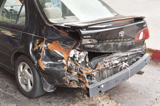 |
Wrecked Car
Location : Anguiatu This was one of the first things that I saw entering El Salvador at the border crossing station. Gives you a comforting feeling. |
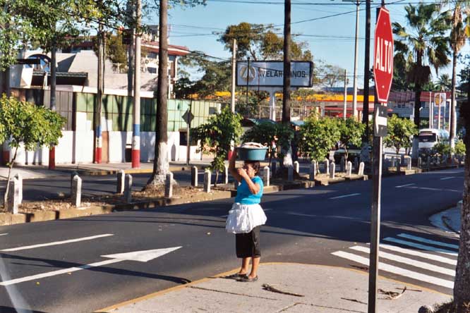 |
Crossing the Street
Location : Santa Ana Notice the stop sign says "Alto". Santa Ana is a small city, but pretty modern compared to the countryside. As you can see by the signs, automobiles, and houses in the background. |
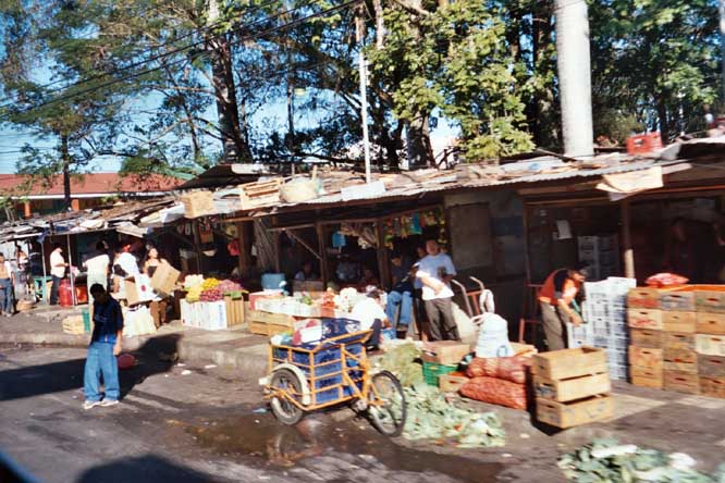 |
Storefronts
Location : Chalchaupa A typical set of markets. |
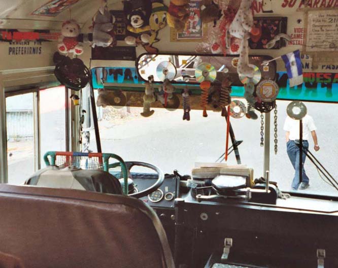 |
Chicken Bus (primary transportation) Location : Metapan Chicken buses are the national means of transportation. They take you from one city to another, and are essentially old school buses from America. I felt like a 6th grader again. Each bus is brightly, and decoratively painted and personalized on the inside (as you can see here). |
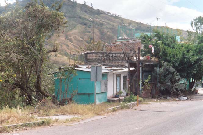 |
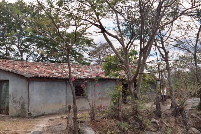
Residence
Location : Countryside This photo was shot in the countryside on my journey from Anguiatu to Metapan to Chalchaupa to San Salvador. |
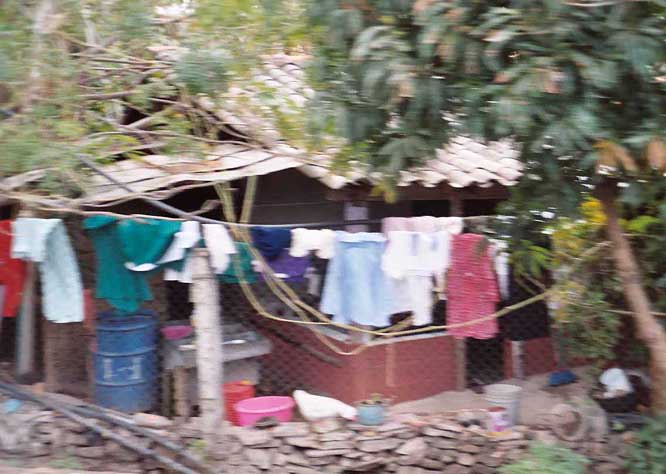 |
Residence
Location : Countryside Laundry is hung out to dry. Being a carribean country, the weather is nice all year round. Clothes are handwashed. |
 |
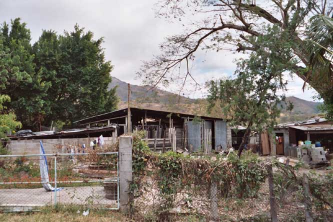
Residence
Location : Countryside
|
 |
Residence
Location : Countryside
|
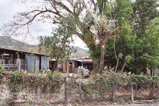 |
Residence
Location : Countryside
|
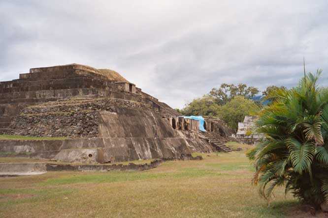 |
Ruinas del Tazumal
Location : Chalchuapa, district of Santa Ana Tazumal is a national treasure of El Salvador. It was the southernmost extent of the Mayan Empire. The Maya ruins of Tazumal, one of the most important and best preserved in El Salvador, are in the town of Chalchuapa. Chalchuapa is 76km (47mi) northwest of San Salvador, about a two hour ride by bus, usually via the town of Santa Ana. |
 |
Ruinas del Tazumal
Location : Chalchuapa Tazumal is actually a complex of about 400 individual excavation sites. |
 |
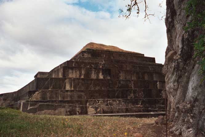
Ruinas del Tazumal
Location : Chalchuapa The Maya, Aztec and Pipil all built their campfires in El Salvador at one time or another. Evidence has been found that indicates that the some regions had been inhabited since 200 BC, although most construction occurred after 600 AD. |
 |
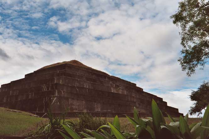
Ruinas del Tazumal
Location : Chalchuapa In the Quichť language the name Tazumal means 'pyramid where the victims were burned.' The excavated ruins on display here are only one part of a zone covering 10 sq km (4 sq mi), much of it buried under the town. Archaeologists estimate that the first settlements in the area were around 5000 BC. The excavated structures date from a period spanning over 1000 years. |
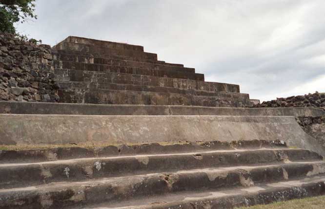 |
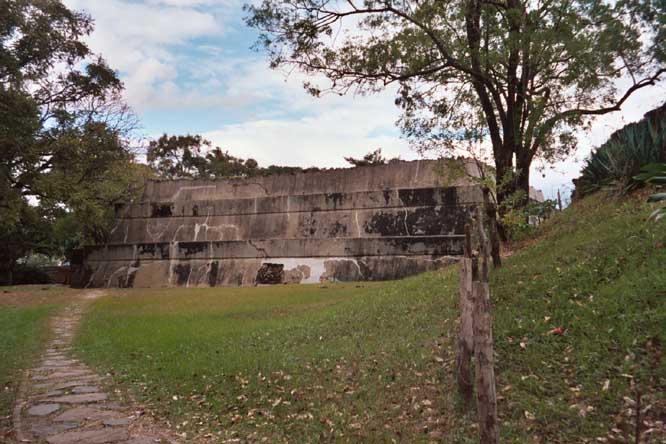
Ruinas del Tazumal
Location : Chalchuapa Most ruins remain hidden under grassland. Like Tazumal, the low step pyramids are mostly covered in smooth concrete, leaving little of the original structures visible. |
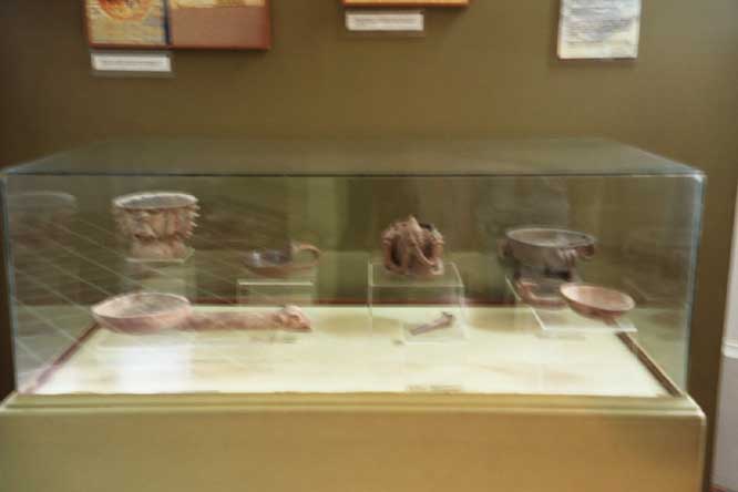 |
Museum of Tazumal
Location : Chalchuapa The artifacts found at Tazumal provide evidence of ancient and active trade between Tazumal and places as far away as Panama and Mexico. |
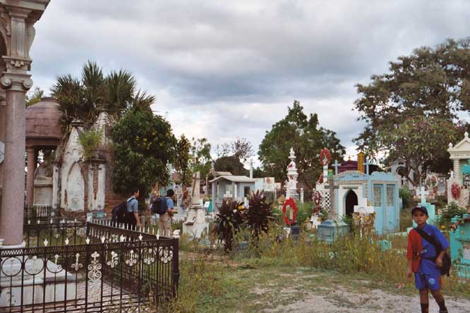 |
Cemetary
Location : Chalchuapa A cemetary abutts against Tazumal. |
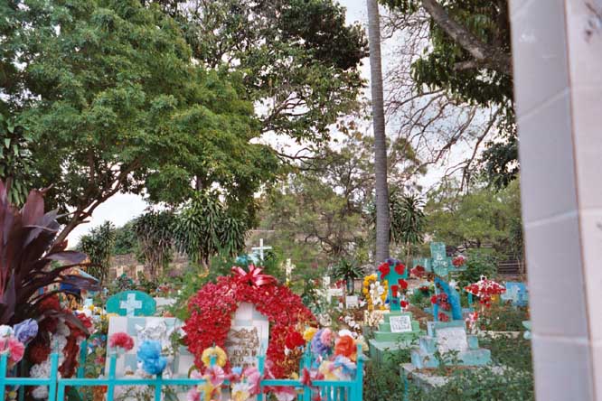 |
Cemetary
Location : Chalchuapa
|