 FB
FB IN
IN| HONDURAS |
| Honduras | Picture Description |
|---|---|
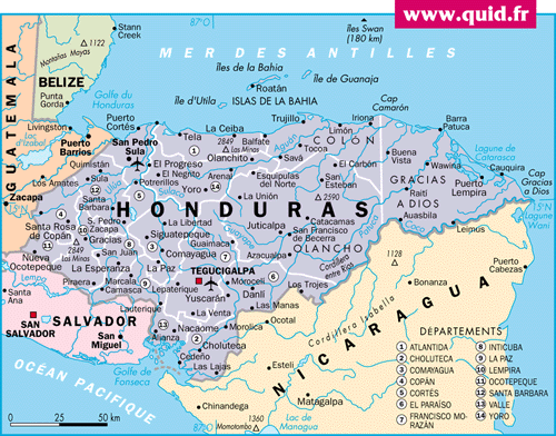 |
Map of Honduras
A Spanish colony until independence in 1821. Population : 6,975,204 (July 2005) Median age: 19.15 years Fertility rate:3.87 children/woman (2005) Currency: Lempira (2004 18.2HNL=$1USD) GDP per capita: PPP $2,800 (2004) Population below poverty line: 53% Labor force - by occupation: Agriculture 34%, Industry 21%, Services 45% Honduras, one of the poorest countries in the Western Hemisphere with an extraordinarily unequal distribution of income and massive unemployment Source : CIA Factbook
|
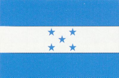 |
The National Flag of Honduras
Honduras achieved independence from Spain in 1821. |
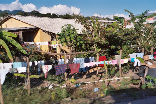 |
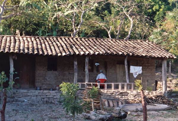
Typical Residence
Location : Copan Typical Residence |
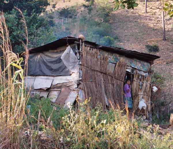
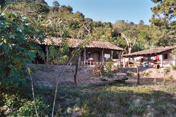 |
Typical Residence
Location : Copan Typical Residence |
 |
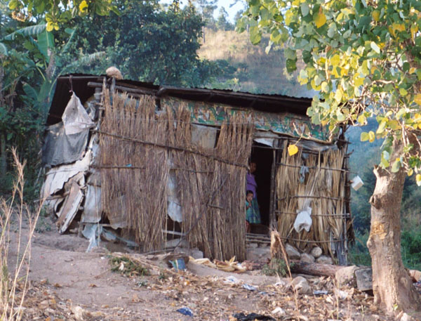
Typical Residence
Location : Copan Typical Residence |
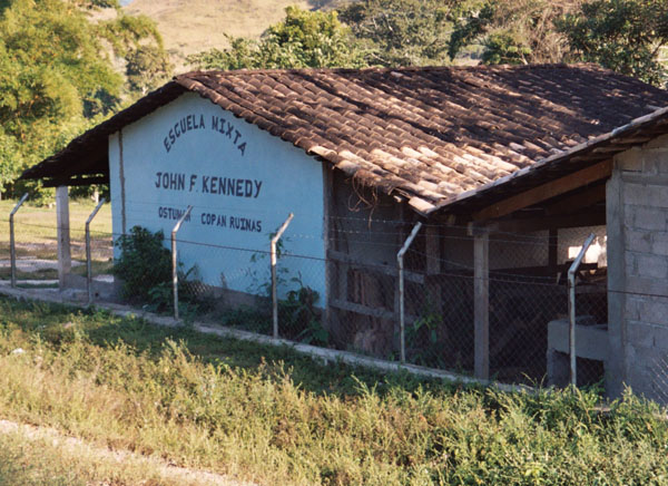 |
School
Location : Copan JFK School |
 |
Typical Residence
Location : Copan Typical Residence |
 |
Typical Residence
Location : Copan Typical Residence |
 |
Site Map
Location : Copan Ruinas Copan Ruinas is a magnificent UNESCO World Heritage Site, and one of the most distinguished cultural sites in the world. The Mayan People were thought to have lived in what is today Honduras around 1000 BC. This society of people settled in North Western Honduras on the beautiful plains of the Copan River, and built the city of Copan. Archeological evidence shows that the Copan Valley has been inhabited since 1200 BC. |
 |
Stella
Location : Copan In 426 CE Copan was ruled by a royal family. The first King Mah K'ina K'uk' Mo' ( Great Sun Lord Quetzal Macaw ) was credited as the founder of the kingdom. In 628 CE Copan developed significantly when King Smoke Imix ( Smoke Jaguar ) became king. He developed Copan's military and commercial power. This led to Copan's peak population of more then 20000 people. While not the largest city in the Mayan empire, it was the predominant cultural center. |
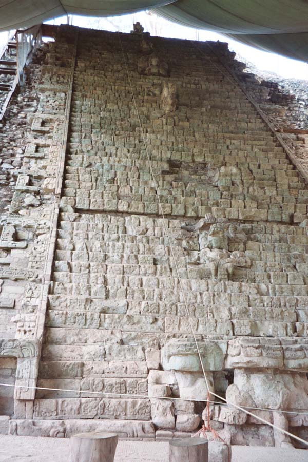 |
Hieroglyphic Staircase
Location : Copan Ruinas The famous Hieroglyphic Staircase composed of hundreds of hieroglyphs gives insight to the Mayan Peoples. As of 2004 it was being restored with the help of the Japanese government. In 749 AD King Smoky Shell erected the most famous monument of the city, the Hieroglyphic Stairway. The inscription found on the hieroglyphic staircase is the longest inscription found in the Mayan world. The hieroglyphs script refers to the life and times of the Mayan rulers. The staircase has 1250 glyph blocks in its inscription. The stairway provides the names and dates of previous rulers. Most of this information had been destroyed by their successors, and the stairway. Furthermore it narrates battles and conquests of these leaders. |
 |
Hieroglyphic Staircase
Location : Copan Ruinas A Close-up of a Hieroglyphic Block. Each block is over a foot wide. |
 |
Hieroglyphic Staircase
Location : Copan Ruinas Notice the tarp over the entire staircase, to protect the staircase from the elements. None of the other site areas had tarp over them. |
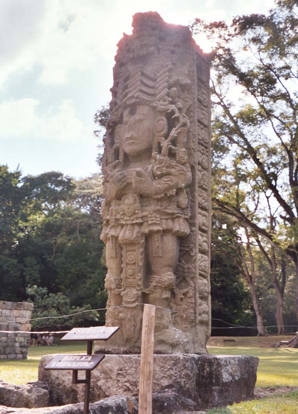 |
Stella
Location : Copan Ruinas The last ruler of Copan was U Cit Tok', who became king in in 822 CE. During the reign of U Cit Tok', the kingdom began to lose power. In 822 CE, the king commissioned a monument to represent his time in power. However, it was never completed. This symbol of the tragic downfall of the Mayan Empire is located at Altar L |
 |
Monument
Location : Copan Ruinas Archeologists now understand that Copan collapsed because in the last few decades Copan saw immense population growth. This was a huge agricultural strain for the land which lead to environmental degradation. The civilization migrated to other less hospitable areas of the valley not designed for settlement. Many areas were deforested, and during the monsoon season the land would subsequently flood due to a lack of vegetation. The society not only had to cope with floods, but also intense droughts. |
 |
Ruins Overlook
Location : Copan Ruinas Scientists have found evidence of malnutrition in the remains they have discovered, and during this period life expectancy decreased dramatically. |
 |
Monument
Location : Copan Ruinas The first recorded discovery of the ruins was by Diego Garcia de Palacios on March 8th, 1576. |
 |
Sports Arena
Location : Copan Ruinas Here competing teams met head-to-head on a court. In this sport, teams try to get a ball into the other team's goal (which is set in the wall). |
 |
Archway
Location : Copan Ruinas An Archway |
 |
Underground passage
Location : Copan Ruinas
|
 |
Temple
Location : Copan Ruinas A Temple. |
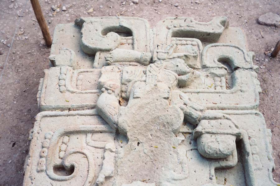 |
Relief
Location : Copan Ruinas
|
 |
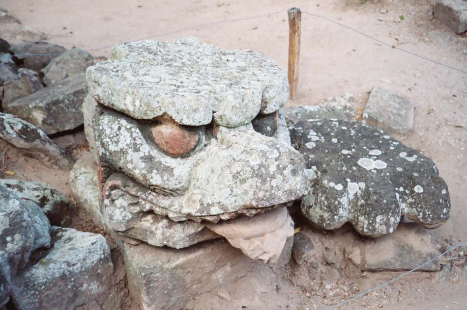
Mask
Location : Copan Ruinas A Mask/portrait of a king. |